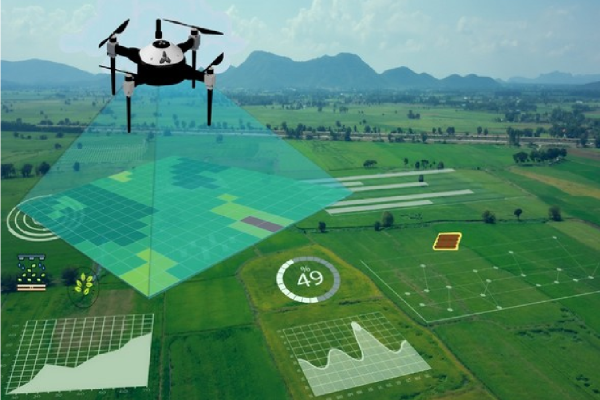

Transforming Data into Actionable Insights
Drone surveys combined with GIS mapping provide precise, real-time data for environmental monitoring, land assessments, and industrial planning. This powerful combination ensures accurate analysis for informed decision-making.
Why It Matters
- Enhanced accuracy in data collection with aerial surveys.
- Cost-effective solution for large-scale land assessments.
- Real-time data for quick decision-making and reporting.
- Detailed analysis of topography, vegetation, and environmental conditions.
Our Drone Survey and GIS Mapping Services
- Aerial data collection using cutting-edge drone technology.
- Precise GIS mapping for land, environmental, and infrastructure analysis.
- Detailed reports that provide actionable insights for better decision-making.
Take the First Step
Ready to revolutionize your data collection? Contact us now to learn more about our drone survey and GIS mapping services.