Drone Survey and GIS Mapping Studies

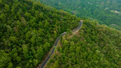
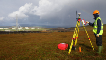
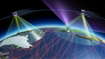
At Airnoi Tech India Pvt Ltd, we use advanced drone survey technology and GIS mapping to provide accurate and efficient environmental monitoring solutions. Our drone surveys capture high-resolution aerial imagery, giving businesses detailed insights into land and infrastructure conditions. By integrating this data with GIS mapping, we create comprehensive visual models that help monitor factors like land use, air quality, and water management. This combination of technologies supports informed decision-making, better resource management, and ensures compliance with environmental regulations, all while promoting sustainability and reducing environmental impact.

Drone Survey and GIS Mapping Studies

Unlocking Precise and Innovative Surveying Solutions

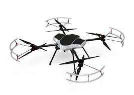
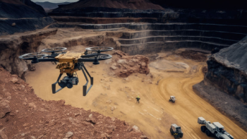
Explore our cutting-edge drone survey and GIS mapping services that offer high accuracy and efficiency for a wide range of industries. Whether you’re in construction, mining, forestry, or environmental management, our services provide the data-driven insights you need to make informed decisions.

Drone Survey Services

Comprehensive Drone Surveying for Accurate Data Collection

Our drone-based surveying services provide accurate, real-time data for various sectors, ensuring precise insights for better planning, monitoring, and execution.

Drone Survey and Mapping

Harness the power of drones for fast and accurate mapping of landscapes, terrains, and urban areas.

Forest Mapping

Gain detailed insights into forest areas with advanced drone technology, helping with vegetation monitoring and management.

DTM, DEM, and DSM Development

Develop detailed Digital Terrain Models (DTM), Digital Elevation Models (DEM), and Digital Surface Models (DSM) for comprehensive topographic analysis.

Aerial Drone Photography

Capture high-resolution aerial images for marketing, documentation, and inspection purposes.

Lidar Survey Using Drone

Collect highly accurate data with drone-based LiDAR surveys, ideal for terrain modeling and vegetation analysis.

Canopy Mapping and Tree Count Survey

Map forest canopies and accurately count trees for forestry management and conservation efforts.

Mining Survey and Volume Analysis

Perform precise volume analysis and land deformation surveys to improve mining operations.

Lidar Data Processing

Process LiDAR data to create detailed 3D models for terrain and vegetation analysis.

DGPS and GCP Survey

Enhance survey accuracy with Differential GPS (DGPS) and Ground Control Points (GCP) techniques.

GIS Services

Empowering Your Business with Advanced GIS Solutions

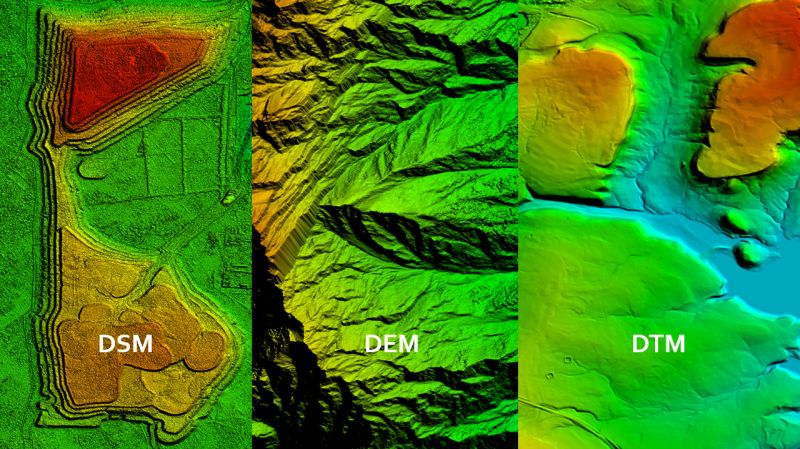
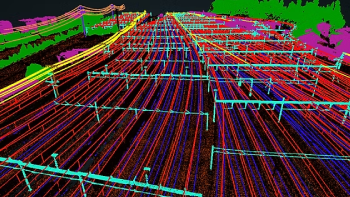
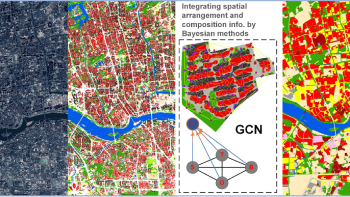
Our GIS services offer a deeper understanding of spatial data to help you manage resources, plan effectively, and visualize geographic trends.

GIS Mapping

Create interactive, data-rich maps for urban planning, environmental monitoring, and resource management.

Satellite Image Processing

Process high-resolution satellite images to analyze land use, agricultural trends, and environmental changes.

Land Use Mapping

Understand land usage patterns and make informed decisions on zoning, development, and conservation projects.

GIS Application Development

Get custom GIS software solutions tailored to your business needs, enhancing spatial data analysis and decision-making.

Utility Mapping

Map out utilities, both underground and above-ground, to ensure effective asset management and infrastructure planning.

3D Building Mapping

Utilize GIS to create accurate 3D models of buildings for architecture, urban planning, and development projects.

Why Choose Us?

Innovative Solutions, Reliable Results

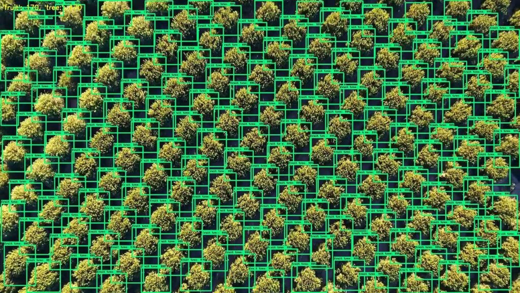
We combine the latest drone technologies and GIS tools to deliver precise, actionable data that helps your business succeed. Our solutions are eco-friendly, cost-effective, and tailored to meet the specific needs of various industries.

FAQs (Frequently Asked Questions)

Our drone surveys are highly accurate, with a precision level comparable to traditional ground surveys. We use advanced technology like DGPS and GCP to ensure accuracy.

Drone surveys are typically much faster than traditional methods. Depending on the size of the project, we can complete surveys in a matter of hours or a few days, reducing downtime significantly.

While drones perform best in clear weather, we can conduct surveys in mild conditions. However, for extreme weather, such as heavy rain or high winds, we may delay operations to ensure safety and data quality.

Request A Call Back

Ever find yourself staring at your computer screen a good consulting slogan to come to mind? Oftentimes.

    Airnoi Tech India Pvt Ltd

    Delivering advanced environmental monitoring and mapping solutions to drive sustainability and innovation.

    Copyright © 2025 Airnoi Tech India Pvt Ltd | All Right Reserved. Designed by Sunseaz Technologies Pvt Ltd.

    Copyright © 2025 Airnoi Tech India Pvt Ltd | All Right Reserved. Designed by Sunseaz Technologies Pvt Ltd.